
“Fast, Accurate #Topographic Maps & Surveys Made Easy w/ the #TrimbleX9 #LaserScanner & #Sketchup!”
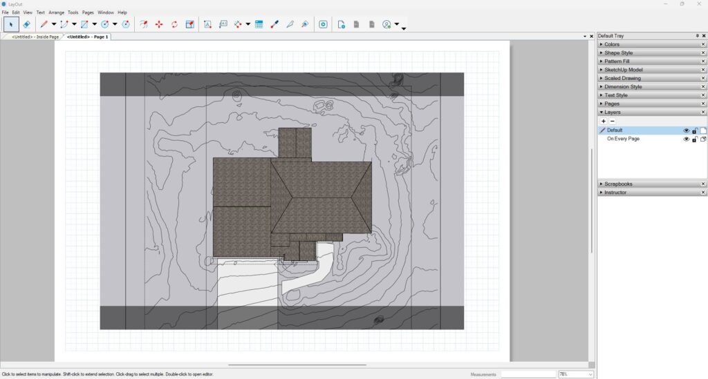
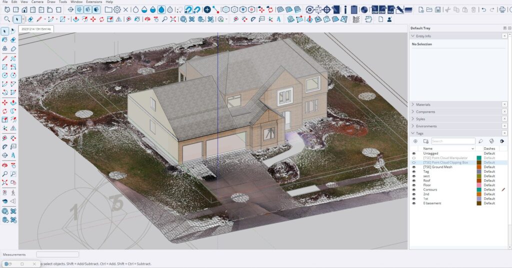
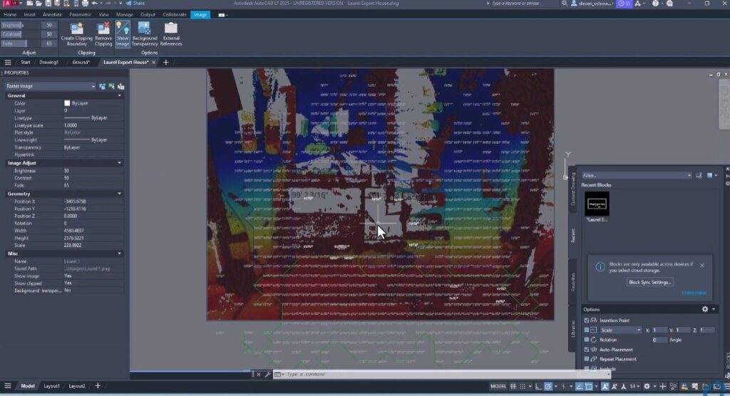
“Capture & process #scandata directly in the field, then seamlessly bring it into SketchUp to extract contours, generate topo lines & model both existing conditions & new plans – all in a single site visit. Bring those topos & other site measurements into #CAD as well.
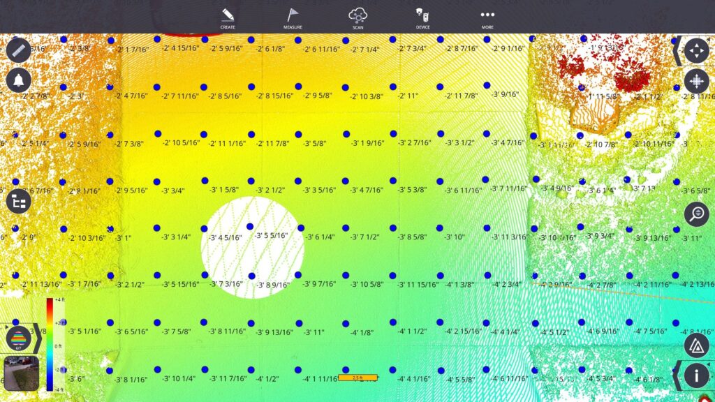
In just 20 minutes, you can precisely estimate #excavation & material costs for any #concrete or #hardscape #renovation.
One trip to the site, less guesswork, more efficiency!”
#BPOV #Trimble #Construction #ConstructionLife #ConstructionIndustry #RealityCapture #3DModeling #SitePlanning #Surveying #AutoCAD #AutoCADLT #AECO #AGC #AIA #AEC #AGC #3DScan #3DScanning #3DLaserScanning #3DScanner


